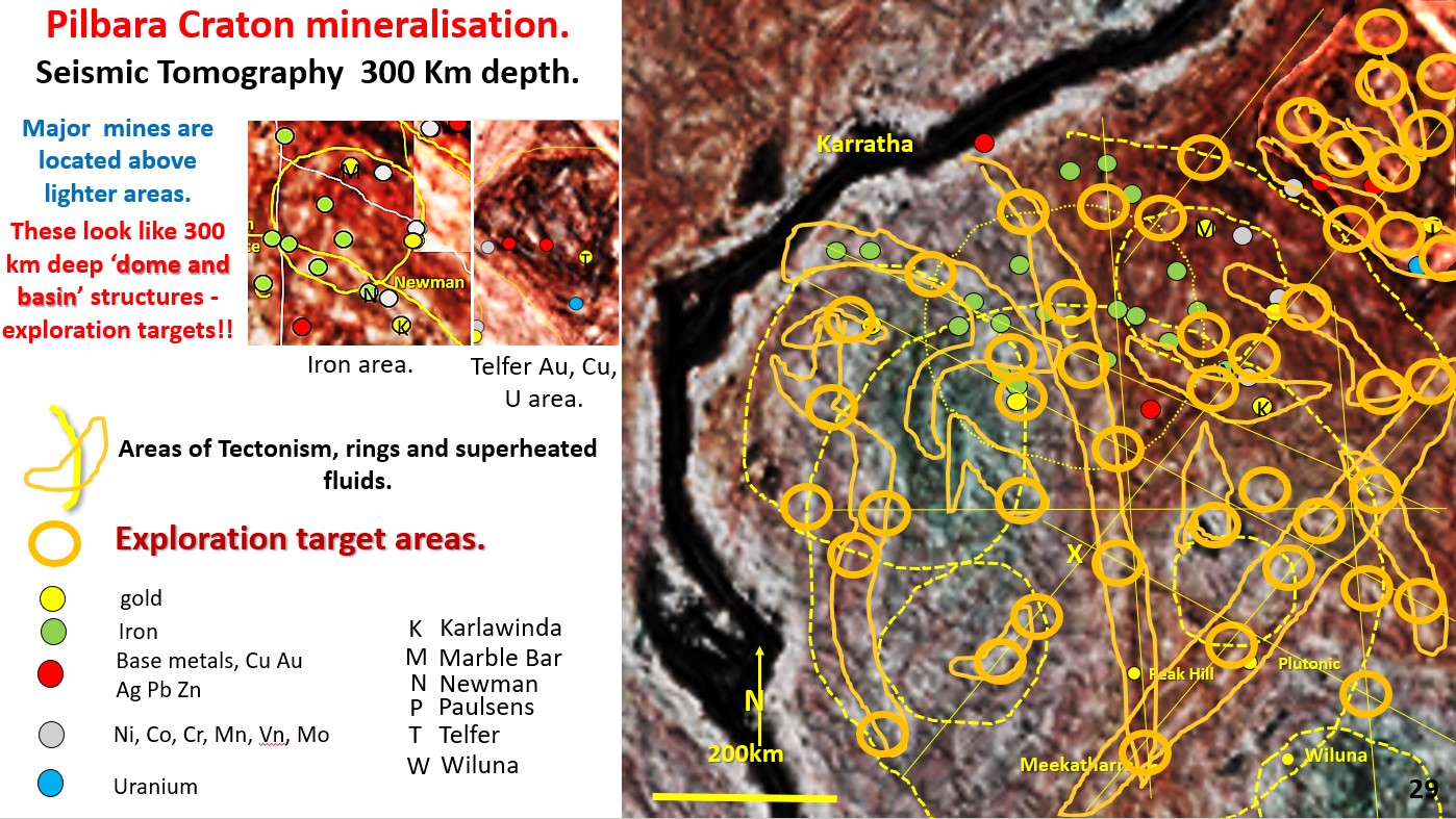
Figure 29. Pilbara Seismic tomography, 300 km depth.

10. Pilbara Craton structural geology, mineralisation and Exploration Targeting. Western Australia. (Part 10).

Figure 29 above. Pilbara Seismic tomography, 300 km depth. Geology and mineralisation, Exploration targeting based on maximum P/T gradient. This figure has had the high P/T boundaries marked out in … [Read More]

Like it? Share it!
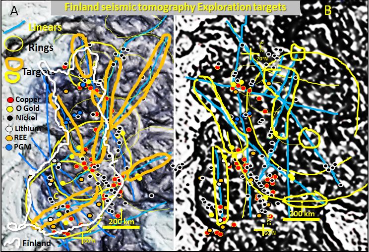
Finland mines and exploration targets

Finland seismic tomography. Geology, mineralisation and exploration potential of Finland using seismic tomography at 250 km depth.

Finland seismic tomography. This pilot study research examines the structural geology and mineralisation of Finland by comparing the surface geology and Landsat with the plan seismic tomography at 220 to … [Read More]

Like it? Share it!

Focus on Innovation, AusIMM South West WA Branch – Bob Watchorn Lecture on the genesis of the Archaean cratons and exploration targeting

Focus on Innovation, AusIMM South West WA Branch – Bob Watchorn Lecture on The genesis of the Archaean cratons and exploration targeting

Like it? Share it!