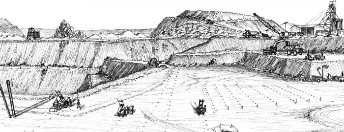
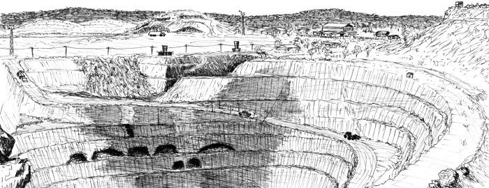
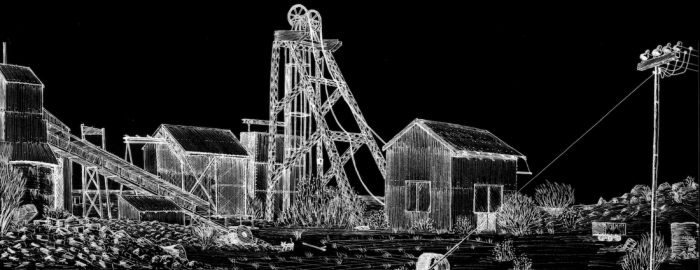
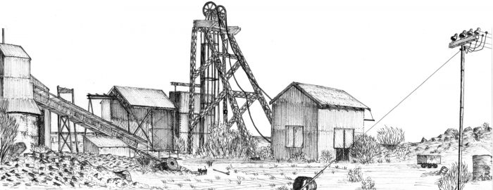
• EveningStar open pit Mount Magnet October. Bob Watchorn sketch 1987.
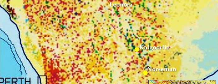
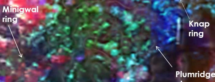
  • Leonora giant ring structure on Landsat.
  • Yilgarn surficial geology showing Cauden giant ring structure. Blewett 2004
    Yilgarn surficial geology showing Cauden giant ring structure. Blewett 2004
  • Yamarna giant ring cluster
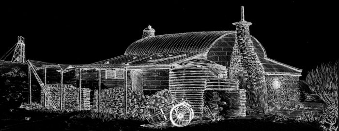
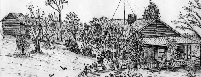
  • Jack Towers cottage Mt Magnet bob Watchorn Sketch October 1987
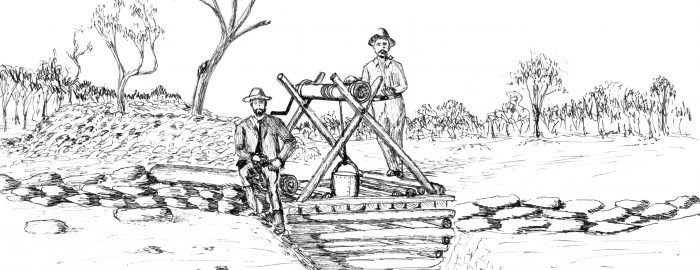
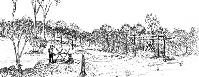
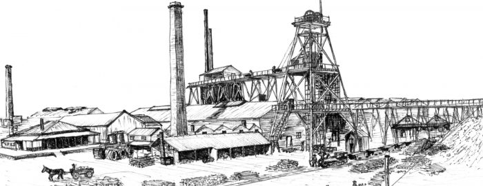
  • Hannans Brown Hill shaft Kalgoorlie, 1894 Bob Watchorn sketch 1996
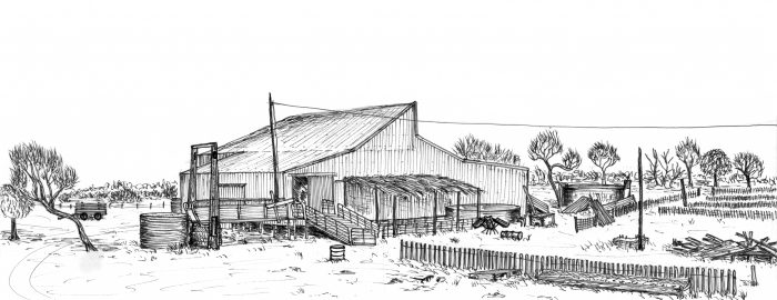
  • Wogarno shearing shed, Kirkalocka. WASO recital 1991. Bob Watchorn Sketch, 1991
  • Great Boulder Early Shafts 1893. Bob Watchorn Sketch 1997
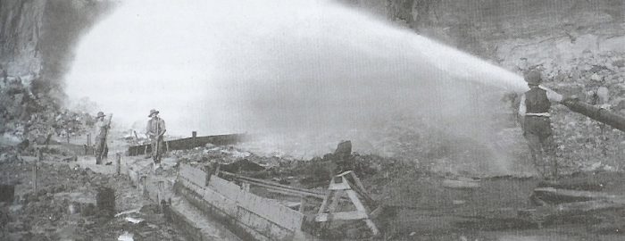
  • Mt Bischoff water cannon 1895. largest tin mine in world at that time. Kick started Tasmania's economy.
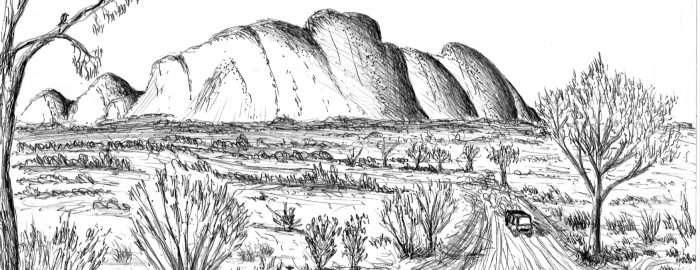
  • The Olgas Kata Tjudata, from the west 1996. Bob Watchorn Sketch 1996.
  • Kalgoorlie Baptist Church, Bob Watchorn Sketch 1998
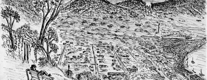
  • Cooktown Queensland from Grassy Hill to the south. Bob Watchorn sketch 2006
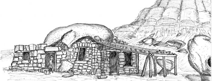
  • Cliff Dweller houses, Arizona USA Bob Watchorn sketch 2006
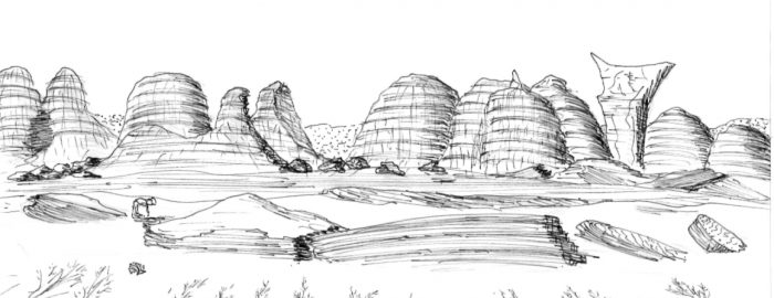
  • Barnhill Station Bungles Kimberly Western Australia. Bob Watchorn Sketch 2009
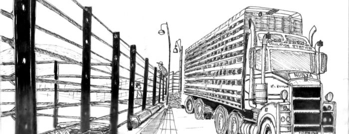
  • Cattle truck Hillside Station Pilbara Western Australia. Bob Watchorn Sketch 2009
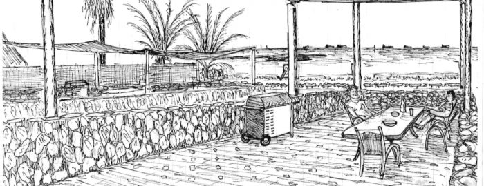
  • Balcony overlooking Port Hedland bay Pilbara. Bob Watchorn Sketch 2009
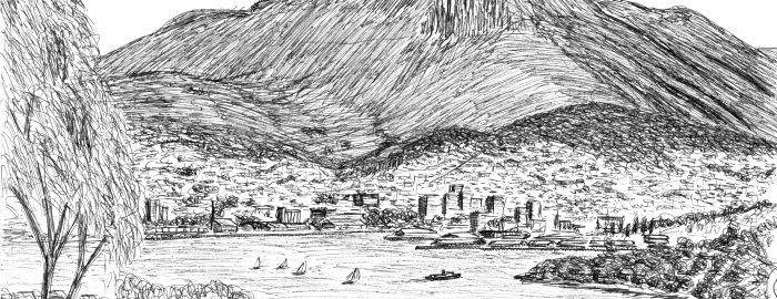
  • Hobart from Lance and Shirley Watchorn's balcony. Bob Watchorn sketch 1999.
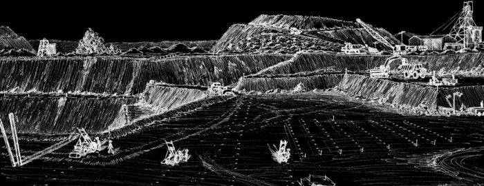
  • Evening Star open pit Mt Magnet. Bob Watchorn Sketch 1987
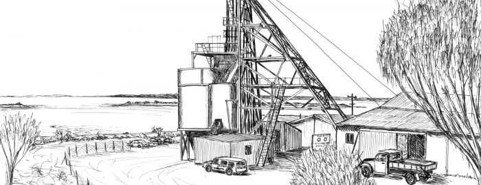
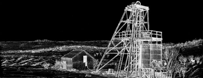
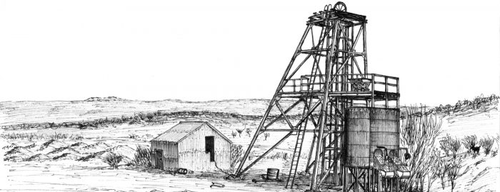
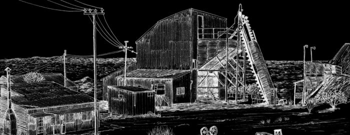
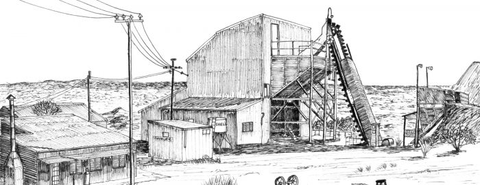
  • Silver Lake Shaft WMC Kambalda. First big Nickel mine in Australia Bob Watchorn Sketch 1996
  • Silver Lake Shaft WMC Kambalda. First big Nickel mine in Australia Bob Watchorn Sketch 1996
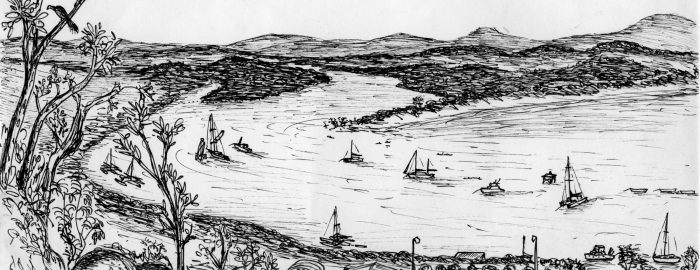
  • Cooktown from Grassy Hill on the Endeavor river, Queensland. Bob Watchorn Sketch 2006
  • Cooktown from Grassy Hill on the Endeavor river, Queensland. Bob Watchorn Sketch 2006
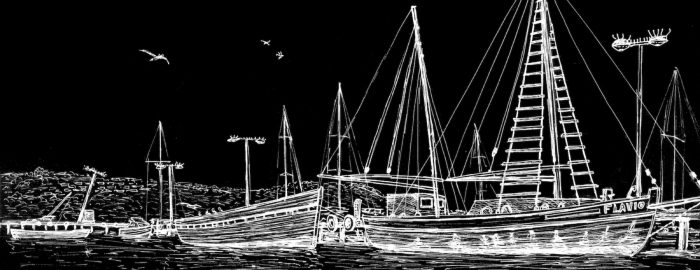
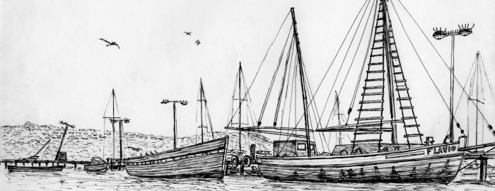
  • Fishing boat harbour. Albany 2006
  • Fishing boat harbour. Albany 2006
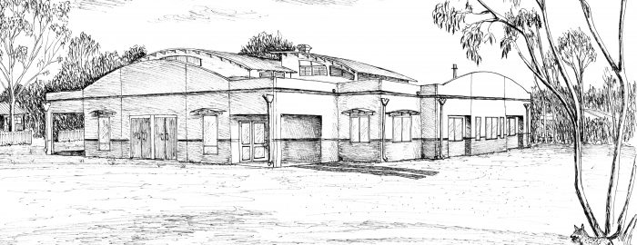
  • Shalom retreat, Manjimup Western Australia 2003
  • Victory-defiance open pit Kambalda. Bob Watchorn Sketch 1994
  • Hill 50 main shaft, Mt Magnet western Australia. Bob Watchorn Sketch 1987
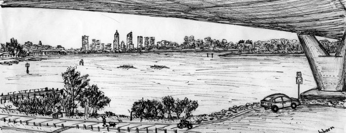
  • Perth, Western Australia from beneath Mt Henry Bridge, Mt Pleasant. Bob Watchorn Sketch 1999
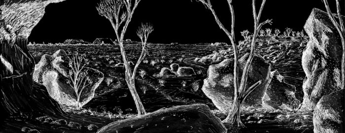
  • The granites, Mt Magnet, Western Australia. Bob Watchorn Sketch 1987.
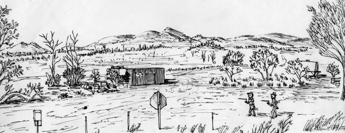
  • Two intrepid divining-rod prospectors, Peter Cook and Donald Thompson, Wingellina nickel project, Western Australia 2006
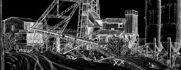
  • Brown Hill Shaft. Mt Magnet, Western Australia. Bob Watchorn sketch 1988.
  • Brown Hill Shaft. Mt Magnet, Western Australia. Bob Watchorn sketch 1988.
  • Eclipse mine shaft Mt Magnet. Bob Watchorn sketch 1987.
  • Eclipse mine shaft Mt Magnet. Bob Watchorn sketch 1987.
  • Boogardie State Battery, Mt Magnet, Western Australia. Bob Watchorn Sketch 1988
  • Boogardie State Battery, Mt Magnet, Western Australia. Bob Watchorn Sketch 1988
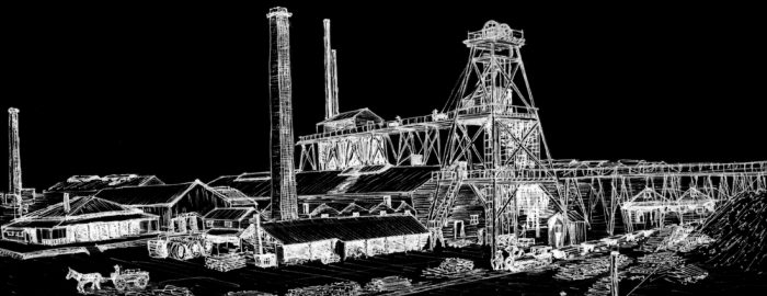
  • Great Boulder main shaft Kalgoorlie, Western Australia 1903. Bob Watchorn Sketch 1997.
  • Great Boulder main shaft Kalgoorlie, Western Australia 1903. Bob Watchorn Sketch 1997.
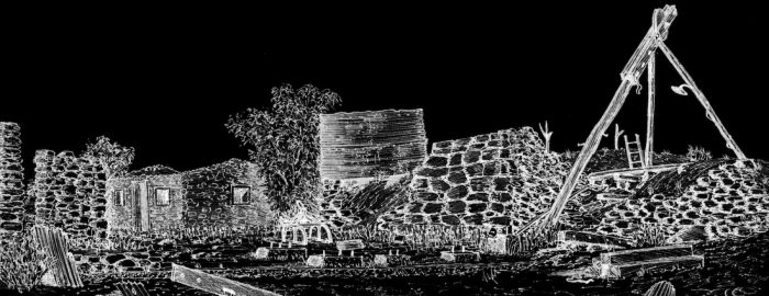
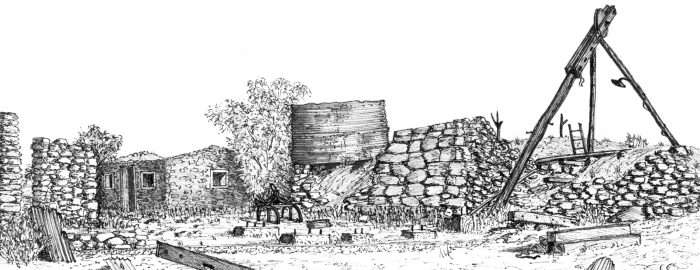
  • Hesperus Dawn Gold Mine Ruins, Mt Magnet, western Australia. Bob Watchorn sketch 1997.
  • Hesperus Dawn Gold Mine Ruins, Mt Magnet, western Australia. Bob Watchorn sketch 1997.
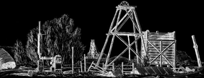
  • Edward Carson shaft, Mt Magnet, Western Australia. Bob Watchorn sketch 1988.
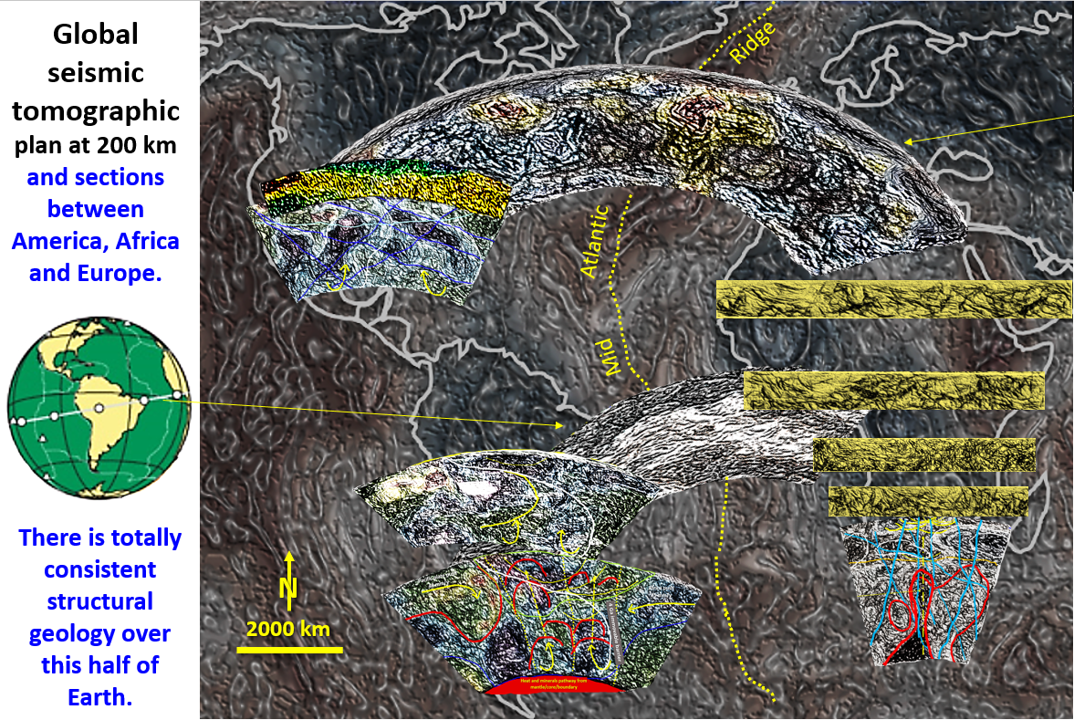
Figure 62. Seismic Tomographic sections of Africa, South and North America, Europe showing continuity of brittle lithosphere, Pacific subduction, Mid Atlantic Ridge and Europe-Africa collision geological features.

Western Hemisphere seismic tomography plan at 200 km depth and sections over Africa, South and North America and Europe, Part 16.

Figure 62. Seismic Tomographic sections of Africa, South and North America, Europe showing continuity of brittle lithosphere, Pacific subduction, Mid Atlantic Ridge and Europe/Africa collision geological features. The slide is … [Read More]

Like it? Share it!
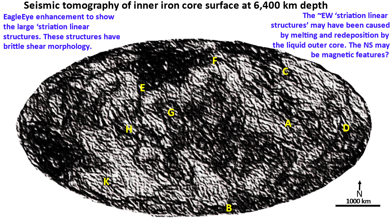
Figure 4. Enhanced seismic tomography image showing ring and linear structures and multiple directions of ‘striations’.

The structural geology of the upper surface of the Inner Core by EagleEye ultra-enhancement of seismic tomography. ©Bob Watchorn

This exercise was done to show that seismic tomographic ultra-enhancement using EagleEye works on any data almost anywhere. I correctly predicted that the main feature of the Inner Core surface would be strong striations and they were!
The major WNW, NNW, NNE, EW and NS structures form the same sinistral pattern as those seen on all of the seismic tomography plans from the surface to the Outer Core. This suggests they are intrinsic to the formation of Earth.
They also suggest that the Earth was essentially solid when the Late Heavy Bombardment impacts occurred!
Of great interest are circular corona like doughnuts with the appearance of sunspots. There are also concentric ring structures up to 3,000 km diameter with the morphology of Late Heavy Bombardment impacts! How did they get there and, more importantly, why, and how could they have been preserved?
This has been a most interesting exercise! Being the first to explore an area where no geologic structure has ever been defined is a Captain Cook adventure – a bit daunting, but tremendously exciting and satisfying.

Like it? Share it!
Figure 61. Seismic Tomographic section from Pacific Ocean to Arabia showing continuity of brittle lithosphere, Pacific subduction, Mid Atlantic Ridge and Europe/Africa collision geological features.
North America through Europe to Africa seismic tomography section from surface to core at 2,850 km depth.

Figure 61. Seismic Tomographic section from Pacific Ocean to Arabia showing continuity of brittle lithosphere, Pacific subduction, Mid Atlantic Ridge and Europe/Africa collision geological features. General description. View the AusIMM … [Read More]

Like it? Share it!