
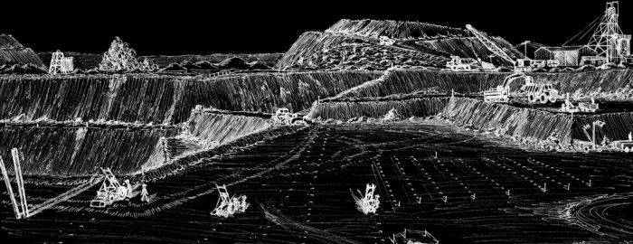
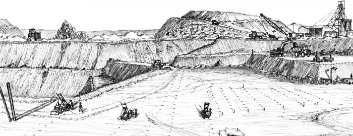
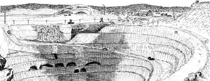
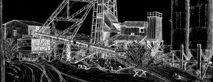
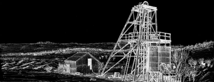
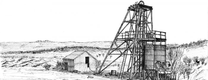
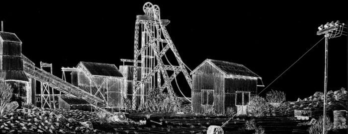
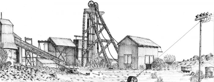
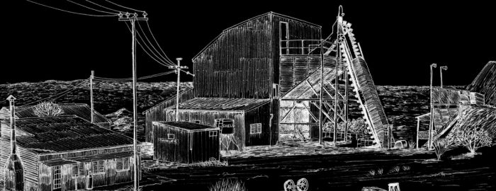
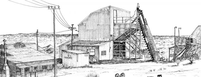
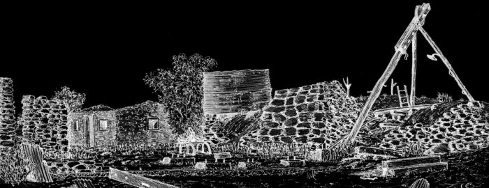
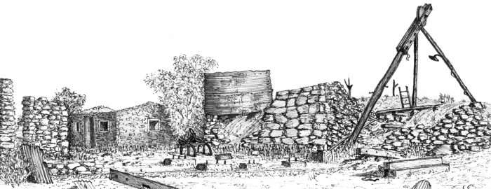
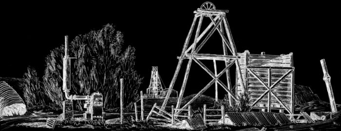
• EveningStar open pit Mount Magnet October. Bob Watchorn sketch 1987.
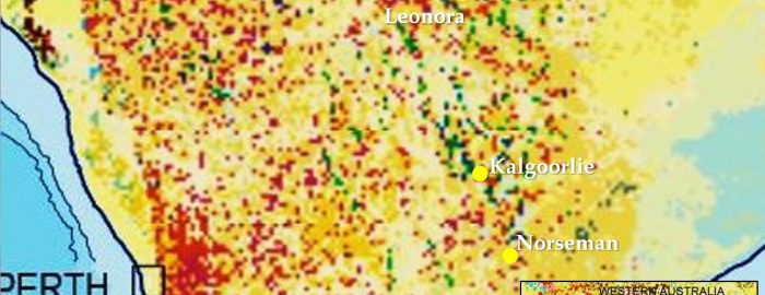
  • Leonora giant ring structure on Landsat.
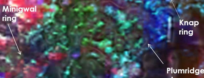
  • Yilgarn surficial geology showing Cauden giant ring structure. Blewett 2004
    Yilgarn surficial geology showing Cauden giant ring structure. Blewett 2004
  • Yamarna giant ring cluster
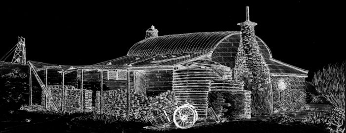
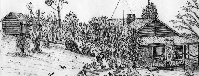
  • Jack Towers cottage Mt Magnet bob Watchorn Sketch October 1987
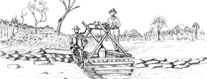
  • Hannans Brown Hill shaft Kalgoorlie, 1894 Bob Watchorn sketch 1996
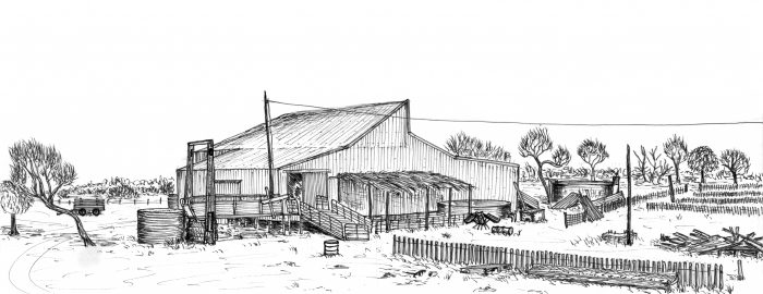
  • Wogarno shearing shed, Kirkalocka. WASO recital 1991. Bob Watchorn Sketch, 1991
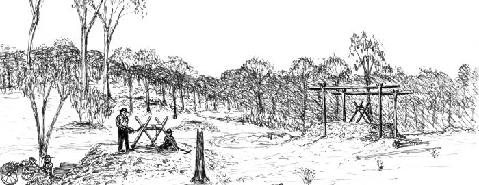
  • Great Boulder Early Shafts 1893. Bob Watchorn Sketch 1997
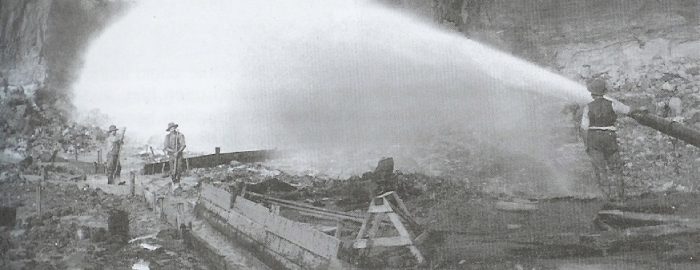
  • Mt Bischoff water cannon 1895. largest tin mine in world at that time. Kick started Tasmania's economy.
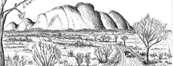
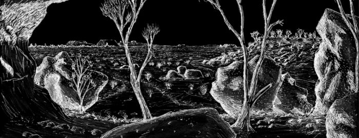
  • The Olgas Kata Tjudata, from the west 1996. Bob Watchorn Sketch 1996.
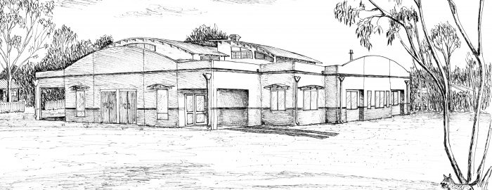
  • Kalgoorlie Baptist Church, Bob Watchorn Sketch 1998
  • Cooktown Queensland from Grassy Hill to the south. Bob Watchorn sketch 2006
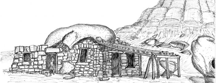
  • Cliff Dweller houses, Arizona USA Bob Watchorn sketch 2006
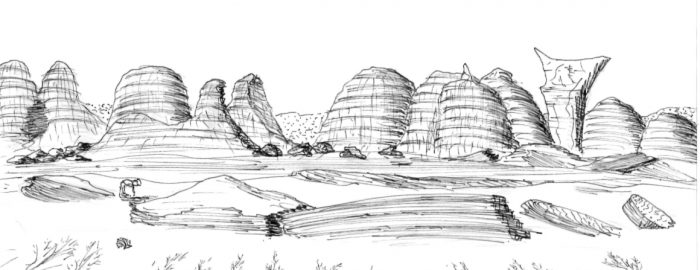
  • Barnhill Station Bungles Kimberly Western Australia. Bob Watchorn Sketch 2009
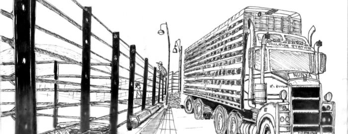
  • Cattle truck Hillside Station Pilbara Western Australia. Bob Watchorn Sketch 2009
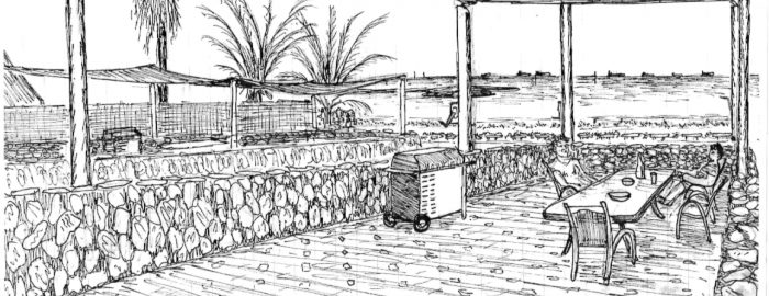
  • Balcony overlooking Port Hedland bay Pilbara. Bob Watchorn Sketch 2009
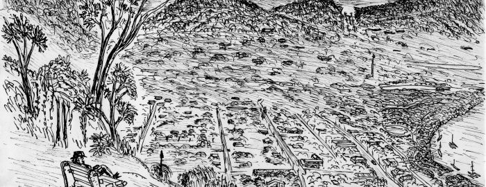
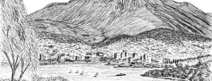
  • Hobart from Lance and Shirley Watchorn's balcony. Bob Watchorn sketch 1999.
  • Evening Star open pit Mt Magnet. Bob Watchorn Sketch 1987
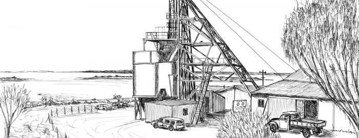
  • Silver Lake Shaft WMC Kambalda. First big Nickel mine in Australia Bob Watchorn Sketch 1996
  • Silver Lake Shaft WMC Kambalda. First big Nickel mine in Australia Bob Watchorn Sketch 1996
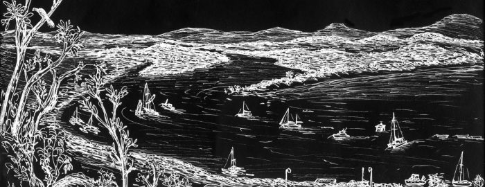
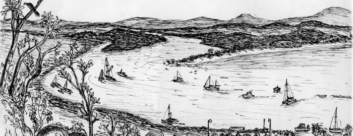
  • Cooktown from Grassy Hill on the Endeavor river, Queensland. Bob Watchorn Sketch 2006
  • Cooktown from Grassy Hill on the Endeavor river, Queensland. Bob Watchorn Sketch 2006
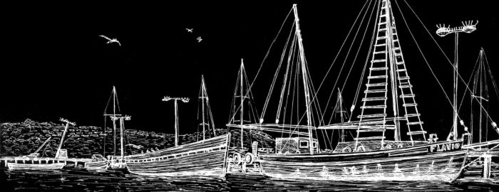
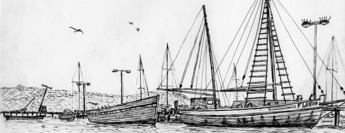
  • Fishing boat harbour. Albany 2006
  • Fishing boat harbour. Albany 2006
  • Shalom retreat, Manjimup Western Australia 2003
  • Victory-defiance open pit Kambalda. Bob Watchorn Sketch 1994
  • Hill 50 main shaft, Mt Magnet western Australia. Bob Watchorn Sketch 1987
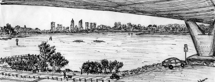
  • Perth, Western Australia from beneath Mt Henry Bridge, Mt Pleasant. Bob Watchorn Sketch 1999
  • The granites, Mt Magnet, Western Australia. Bob Watchorn Sketch 1987.
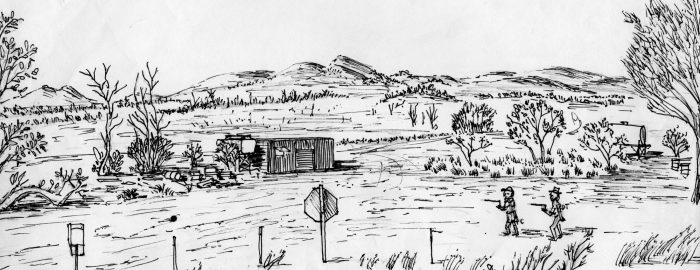
  • Two intrepid divining-rod prospectors, Peter Cook and Donald Thompson, Wingellina nickel project, Western Australia 2006
  • Brown Hill Shaft. Mt Magnet, Western Australia. Bob Watchorn sketch 1988.
  • Brown Hill Shaft. Mt Magnet, Western Australia. Bob Watchorn sketch 1988.
  • Eclipse mine shaft Mt Magnet. Bob Watchorn sketch 1987.
  • Eclipse mine shaft Mt Magnet. Bob Watchorn sketch 1987.
  • Boogardie State Battery, Mt Magnet, Western Australia. Bob Watchorn Sketch 1988
  • Boogardie State Battery, Mt Magnet, Western Australia. Bob Watchorn Sketch 1988
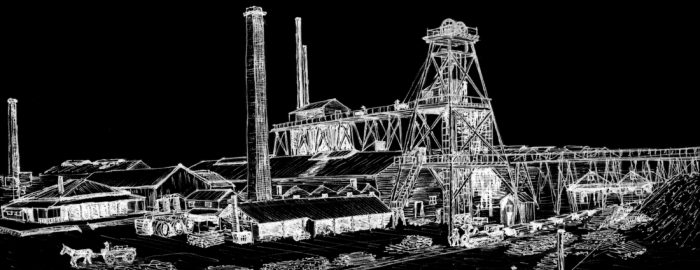
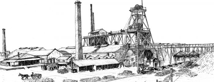
  • Great Boulder main shaft Kalgoorlie, Western Australia 1903. Bob Watchorn Sketch 1997.
  • Great Boulder main shaft Kalgoorlie, Western Australia 1903. Bob Watchorn Sketch 1997.
  • Hesperus Dawn Gold Mine Ruins, Mt Magnet, western Australia. Bob Watchorn sketch 1997.
  • Hesperus Dawn Gold Mine Ruins, Mt Magnet, western Australia. Bob Watchorn sketch 1997.
  • Edward Carson shaft, Mt Magnet, Western Australia. Bob Watchorn sketch 1988.
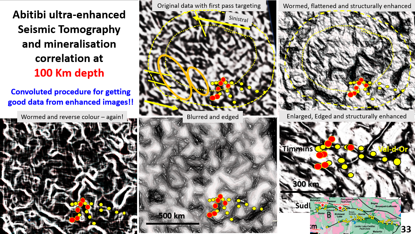
Figure 33. Canadian Abitibi mining area showing the relationship of mines to enhanced seismic tomographic structures.

Abitibi Belt Canada, seismic tomography at 100 km depth. EagleEye ultra-enhancement and exploration targeting. AusIMM webinar, part 5.

The Abitibi belt is one of North America’s largest producers of gold, copper, silver lead zinc and nickel. It would be fantastic to find a new one! The aim of this research is to try and define areas in which to explore, based on sound structural geology evidence.

Like it? Share it!
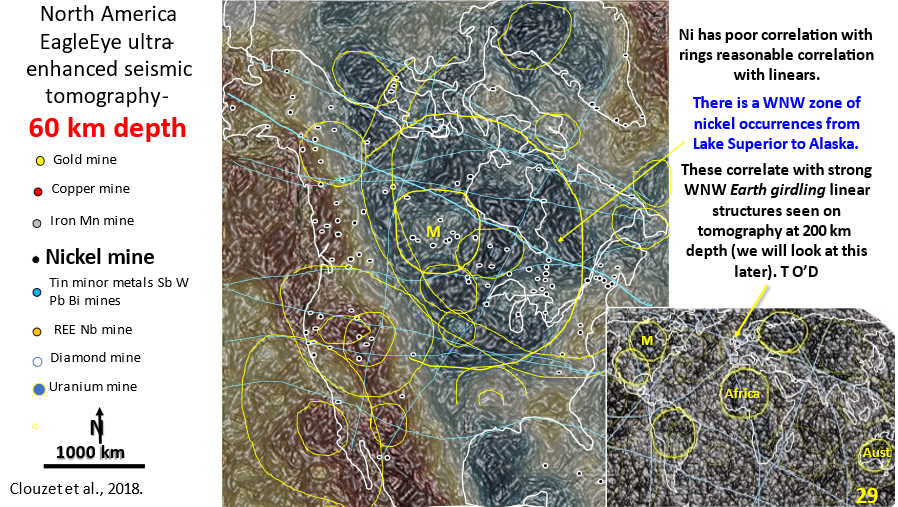
Figure 29. North America 60 km depth interpreted, enhanced seismic tomography showing linears and rings. Inset of world seismic tomography showing linears and rings.

AusIMM North America webinar part 4. Seismic tomography at 60 km depth showing the relationship of the mines to structural geology.

The video link for the AusIMM webinar is below. Look at this video – it will open your eyes to geology most geoscientists only dream about :)! https://www.ausimm.com/videos/community-event/south-west-wageoscience-society—digital-tech-talk-new-discoveries-in-the-structural-geology-mineralization–exploration-targeting-of-north-america/ 6.    Seismic … [Read More]
Like it? Share it!
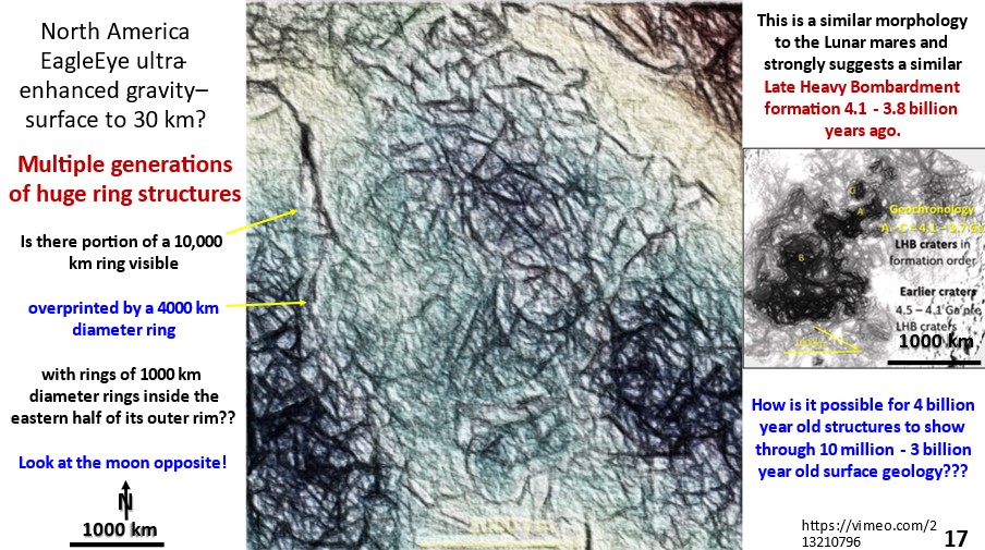
Figure 17. Enhanced gravity image of North America depicting the density of earth as topography showing linear and ring structures.

North America. Part 3. EagleEye gravity enhancement showing giant rings, linears and their correlation with mineralisation.

North America. Gravity enhancement showing giant rings, linears and their correlation with mineralisation.

Like it? Share it!